

Noosa
Noosa faces north, which on this coast is almost unheard of and is the whole reason the water is calm. A free coastal walk runs five kilometres past koalas in the tea trees.
Noosa in a nutshell
Noosa: what to expect
Before writing this we counted 366,000+ planned stops in Australia on Stippl.
Noosa is a national park on a headland with a resort town attached, and the park is free. The coastal track runs about five and a half kilometres each way past Boiling Pot, Tea Tree Bay, the Fairy Pools and Hell's Gates to Alexandria Bay, and Tea Tree Bay is where the koalas are. Main Beach faces north, which is rare on this coast and is why it is sheltered and calm. The river behind the town is a second waterfront entirely: flat, wide and made for a paddleboard.
Almost nobody passes through Noosa, and almost nobody plans it early. Fewer than two stops in a hundred here carry no night, second only to Byron Bay, and travellers book it 86 days out, the shortest lead time of any large Australian destination. It is a place people add once the rest of the coast is already settled.
Noosa runs to 2 nights, three or four if you are using it as a base. The Everglades run by boat or kayak from Boreen Point and are one of very few such systems anywhere, and the Eumundi markets are twenty minutes inland on Wednesday and Saturday mornings. Sunshine Beach is open ocean and a different proposition from Main Beach. Skip Noosa if you are watching the budget, because Hastings Street is priced accordingly.
Plan Noosa in Stippl
Day-by-day planning, stays and budget in one app, with every place from this guide already on the map.
Download the appWho Noosa is for
Walkers
The coastal track is the town's best thing and it costs nothing.
Families
A sheltered north-facing main beach is a genuinely rare asset on this coast.
Surfers
The point breaks off the headland work with the right swell, and Sunshine Beach has the open-ocean waves.
Paddleboarders and kayakers
The river is flat, wide and forgiving, and most people give Noosa 2 nights for both the sea and the river.
Koala spotters
Tea Tree Bay's eucalypts are a reliable sighting spot in the national park.
Maybe not for you: budget travellers, since Noosa is expensive and the cheap options are thin; and anyone arriving in January without a booking, when the town is full.
The best time to visit Noosa
Summer
December to February
Warm sea, the wettest months and the school holidays on Hastings Street, with January the hardest month of the year to find a room. The national park walks are still good early in the day.
Autumn
March to May
Warm water, thinning crowds after Easter and the best balance of the year for a beach and bush stay. The consensus best, and the prices soften with it.
Winter
June to August
Mild, dry and quiet, with the whales arriving off the headland from June and the sea too cool for most by July. August is dry and mild and the walks are at their best.
Spring
September to November
The driest month in September, whales at their peak, and the sea warming again through October and November before the holiday crowd returns in December.
- January is the month most travellers plan Australia for on Stippl, and Noosa is planned about 86 days ahead. Only 11.9% of Noosa plans are made inside a fortnight; in January that is the difference between Hastings Street and a motel inland.
- January is the month to book far ahead or to skip. The Queensland and southern school holidays overlap here, and the Hastings Street apartments go to returning families a year out.
- Noosa's whale season runs June to November and is watched from the national park. Hell's Gates on the coastal track is the free vantage point; September is the peak and the driest month in one.
- The Noosa Everglades and the river trips run all year, and the wet season is when they look best. A summer storm afternoon on the river is the trade for the January crowd on the beach.
Add your Noosa dates and we'll flag the weather
Stippl shows the season, crowds and prices for every stop on your route.
Describe your trip, get a Noosa itinerary in seconds
Everything in this guide is already in Stippl. Tell the planner how long you have and what you like: it builds the route, the days and the travel times, and you edit whatever you want.
Things to do in Noosa
 Photo by Hugo Bailey via Unsplash
The coastal walk
Walk the 5.4 kilometres each way through Noosa National Park, past Boiling Pot, Tea Tree Bay, Dolphin Point, the Fairy Pools and Hell's Gates to Alexandria Bay, about four hours return. Free, and the koalas are in Tea Tree Bay.
Tea Tree Bay
Swim at the prettiest of the park's coves and look up: it is the reliable koala-spotting stop on the coast. Free, twenty minutes' walk from Hastings Street.
The Fairy Pools
Climb down the narrow, slippery descent below the track to the tidal rock pools, free. Check the tide and the swell first; at high water they are surf, not pools.
The Noosa River
Paddleboard or kayak the flat water of the river, about €20 an hour, and watch the sunset from Gympie Terrace with the whole town. The river mouth at low tide is the swim.
Eumundi Markets
Drive twenty minutes inland on a Wednesday or Saturday morning for the craft and food market that is the best in the region, free. Saturdays are the big one.
The Noosa Everglades
Take a boat or a kayak from Boreen Point into one of very few everglade systems in the world, about €80 for the day tour. The mirror water is the morning.
The neighbourhoods of Noosa
Noosa Heads
Hastings Street, main beach, the park
The hub: Hastings Street, Main Beach, Little Cove and the national park entrance, with the resorts and apartments behind the beach. For first visits and anyone who wants everything on foot.
Everything walkable and the sheltered beach, and Hastings Street prices.
Noosaville
Riverside, flat water, sunsets
Riverside on Gympie Terrace: cafés, sunsets and flat water, with family apartments along the river. For families and for value with the river at the door.
The river and the sunsets, and a bus or a bicycle to the beach.
Sunshine Beach
Ocean side, surf, quiet streets
The ocean side of the headland, quieter and residential, with the surf beach, the village and the back entrance to the park. For surfers and for calm streets.
The surf and the quiet, and a walk over the headland for Hastings Street.
Noosa Junction
Inland, everyday town, local prices
The everyday town inland: shops, services and cafés at local prices, with motels and apartments. For budget travellers and for the town without the resort.
Local prices and the shops, and a walk down the hill to the beach.
Peregian and Coolum
Further south, space, longer stays
The coast further south: longer beaches, small villages and holiday houses with space. For longer stays and families with a car.
Space and the quiet, and a drive for Noosa itself.
See every Noosa neighbourhood on one map
Save the areas you like and Stippl plots your days so you're not crossing the city twice.
Where to stay in Noosa
Stay in Noosa Heads for a first visit, behind Hastings Street with Main Beach and the national park entrance on foot; the beachfront itself is the splurge and everything else is a short walk from it. Most people give Noosa 2 nights on Stippl. Book far ahead for January and every school holiday, when the town's population swings hard.
Noosa Heads
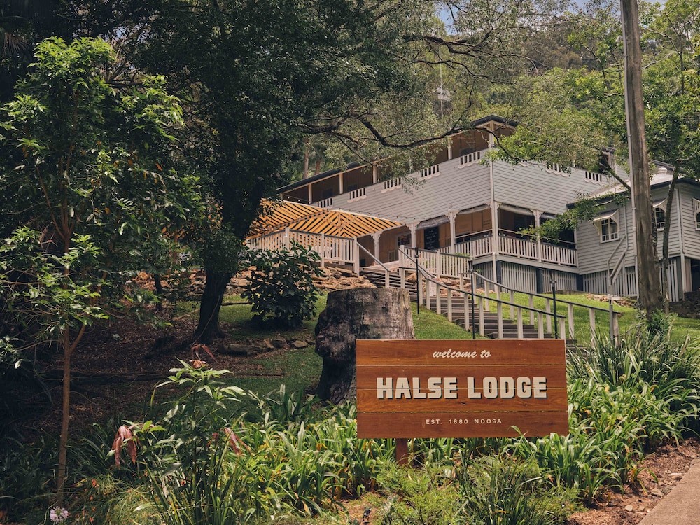
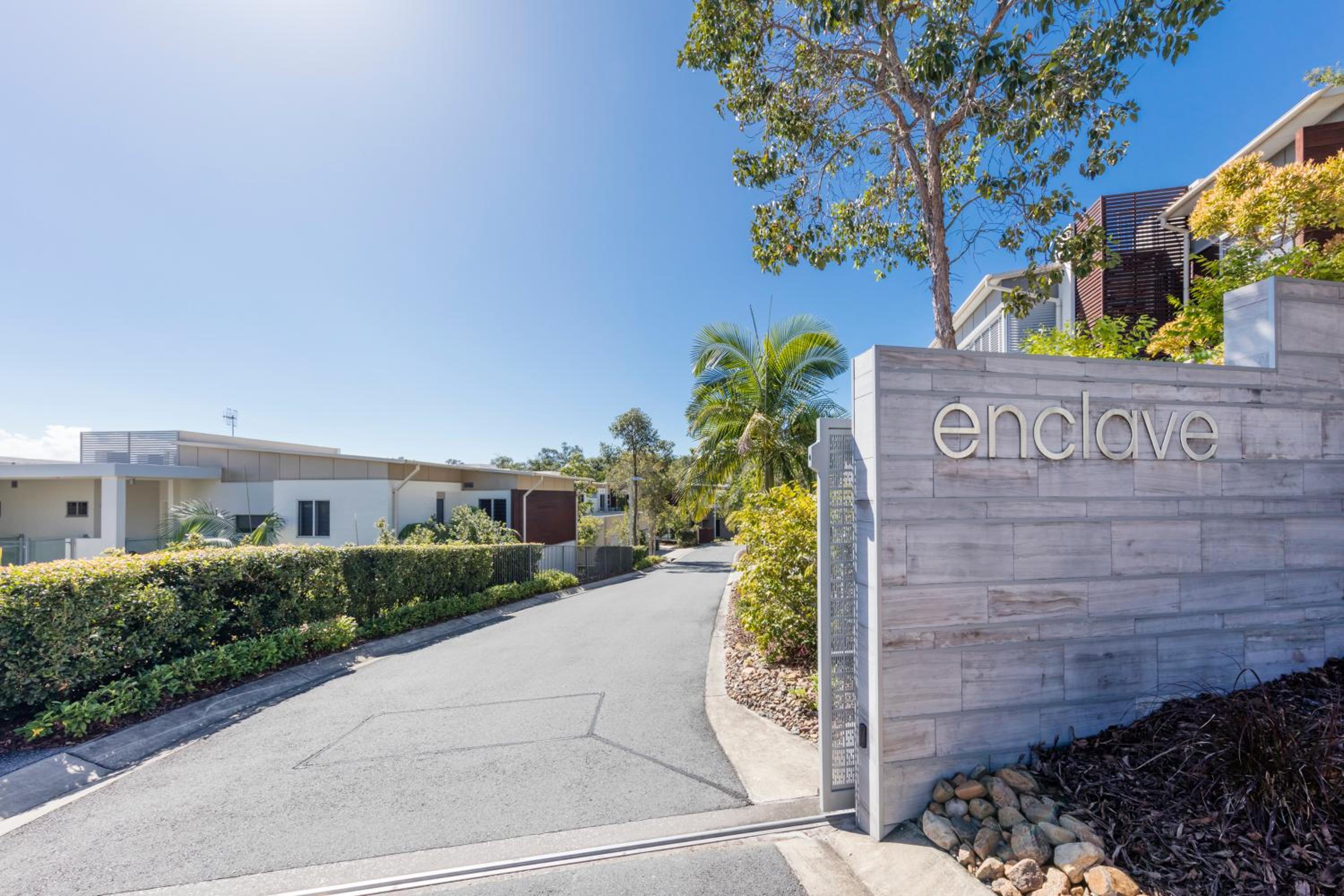
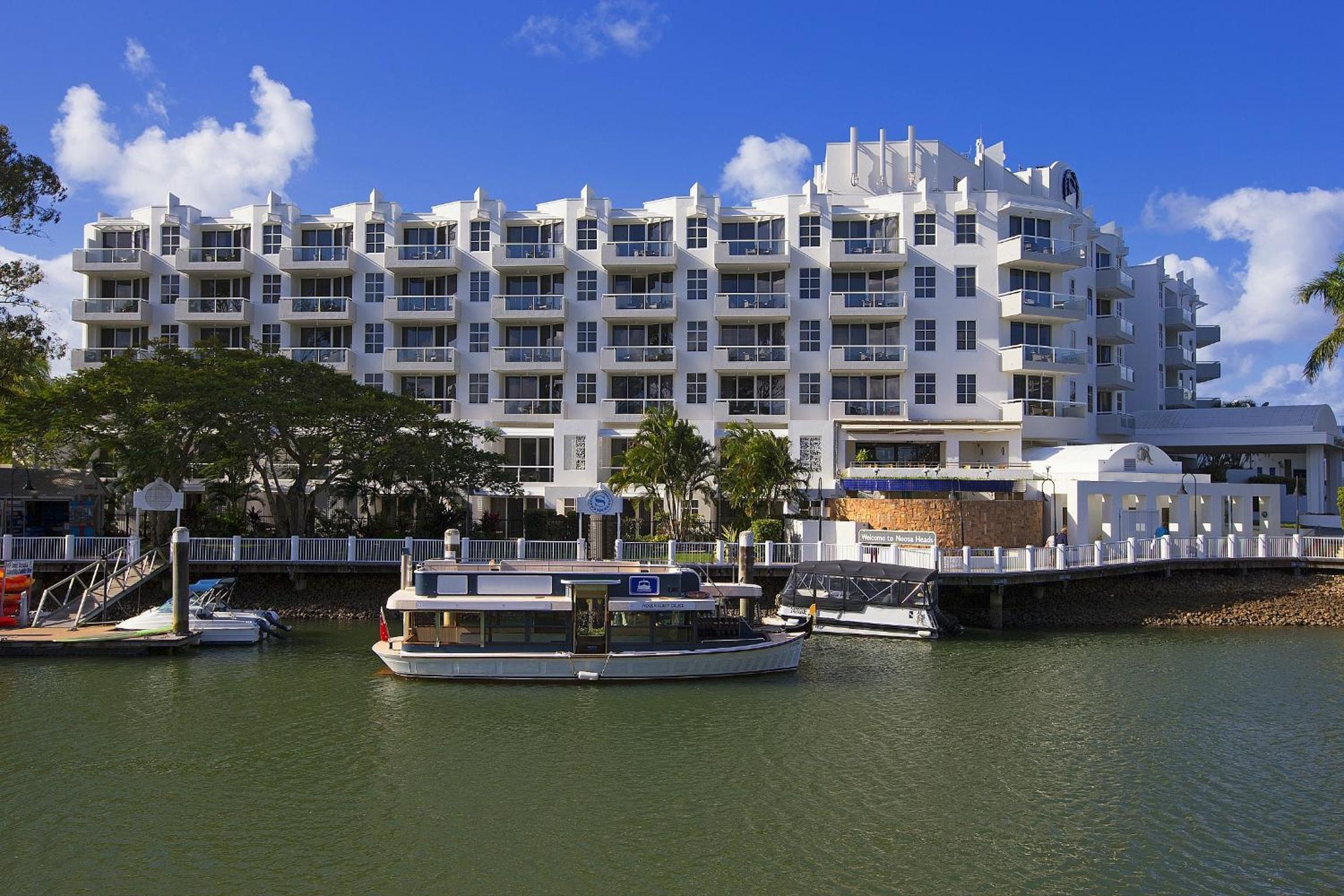
Resorts and apartments behind the beach, €200 to €450, and the heritage hostel from €40 a bed.
Noosaville
Family apartments along the river, €150 to €280, with flat water and sunsets at the door.
Sunshine Beach
Holiday houses and quiet apartments on the ocean side, €180 to €400.
Noosa Junction
Motels and cheaper apartments at local prices, €100 to €180, a walk from the beach.
Peregian and Coolum
Holiday houses with space, €160 to €350 a night, cheaper by the week with a car.


What to eat in Noosa
the town's formal, expensive eating strip
casual eating with a sunset view over the river
everyday eating at non-tourist prices
regional produce and street food stalls, Wednesday and Saturday
Discover food spots in Stippl
Find restaurants and markets on the map, save them to your itinerary, works offline too.
Noosa customs and what not to do
Low-rise on purpose
The town resisted high-rise development in a way its Gold Coast neighbours did not, and that restraint is the character visitors pay for; nothing on Hastings Street is over three storeys.
The park is the centre
The national park's coastal track is the town's morning routine as much as a tourist one; go early, keep left, and the koalas at Tea Tree Bay are for looking at.
Kabi Kabi country
The Kabi Kabi are the traditional owners and the name is on the new signage; the guided walks at the park and the Noosa Everglades are the way in.
The flags move by beach
Main Beach is calm and patrolled; Sunshine Beach behind the headland is ocean surf with rips, and the flags there are the only place to swim.
Do
- Walk the coastal track early; it is exposed and it fills
- Check the tide before the Fairy Pools and before driving Double Island Point
- Swim between the flags, and know which beach you are on
- Book a January bed months ahead
Don't
- Assume Sunshine Beach behaves like Main Beach
- Count on a January bed without booking
- Feed the kookaburras on the café terraces
- Drive Hastings Street looking for parking; use the free shuttle
What a Noosa trip costs
Track what you actually spend
Set a daily budget per country and log expenses in any currency while you travel.
Fun facts about Noosa
Noosa Main Beach is one of very few north-facing beaches on the east coast. That is the whole reason it is calm: the headland shelters it from the southerly swell that hits everything else.
The Noosa Everglades are one of very few everglade systems in the world. The mirror-flat river and lakes upstream of the town are paddled by kayak, with the reflections the photographs are made of.
Tea Tree Bay is the surest place to see a wild koala on this coast. The eucalypts along the coastal walk in the national park hold them, usually asleep, a few metres above the path.
Noosa held the line against high-rise. The town refused the development that reshaped the coast to its south, so nothing on Hastings Street stands taller than the trees.
The national park is the reason to come, and it is free. The headland section is small by Australian standards, and the coastal walk from the town to Hell's Gates is the standard morning.
Almost nobody passes through Noosa on Stippl. It has one of the lowest shares of no-night stops in Australia; people come to stay, three or four nights, and use it as a base.
Local tips for Noosa
Car-free once you arrive
The coastal walk and the river are both on foot from Noosa Heads, and Hastings Street parking is scarce in the holidays. The bus from the Sunshine Coast airport is about €4.
Main Beach is the sheltered one
Minutes apart and similar in the photographs, and only Main Beach faces north out of the swell. Swim there or between the flags at Sunshine; Alexandria Bay is unpatrolled.
Double Island needs a 4WD
The beach drive north is tide-dependent: at high tide you cannot drive off the point and you will be stuck. Go on a falling tide with the tide table in the cab.
How long to stay
Most people give Noosa 2 nights on Stippl: the national park walk, a river afternoon and the Eumundi market if the day fits. January needs the room booked months out.
The Fairy Pools descent
Narrow and slippery, and the sea there changes without notice. Check the tide and the swell before climbing down, and skip it in any surf.
Mount Coolum when dry
The trail is loose rock and very slippery when wet. The morning after rain is the wrong time; the sunrise on a dry day is the right one.
Noosa questions, answered
Around the national park walk and the tide. Trips that include Noosa run 54 days on Stippl, so it is usually a pause on a long east coast run. Put two nights into Stippl, walk the coastal track early on the first morning, and keep the afternoon for Main Beach.
Three or four days is the guidebook answer; 2 nights is what people actually plan in the Noosa stops on Stippl. Two covers the national park walk, Hastings Street and a beach day. The extra nights go on the Everglades, the Eumundi market and the hinterland.
That is where 22.9% of Noosa stops planned on Stippl land, usually a night on the drive between Brisbane and the Whitsundays. The coastal walk takes a morning and the beach takes an afternoon, so one night works only if you arrive early and leave late.
No. It is about five and a half kilometres each way, mostly flat with a few rises, and four hours return if you stroll and stop at the headlands. It is exposed for long stretches, so carry water and go early. Koalas are often visible in the trees near Tea Tree Bay.
Main Beach, which faces north, is the sheltered one and it is patrolled. Sunshine Beach on the far side of the headland is open ocean with real surf and a rip that catches people out, so check the flags and the conditions rather than assuming it is the same water.
Not for Noosa Heads itself, where the beach, the national park and Hastings Street are all within a walk of each other. Yes for Sunshine Beach, the Eumundi market, the Everglades and the hinterland, none of which the local buses reach usefully. Hire one for the days you need it.
Every guide is written by the Stippl editors and checked against the trips our travellers actually plan. Spotted something out of date? Let us know.

Plan Noosa in Stippl
Day-by-day planning, stays and budget in one app, with every place from this guide already on the map.
Download the app